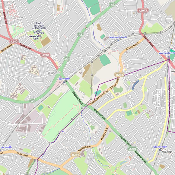
Tolworth, Old Malden
Layered map for Tolworth, Old Malden with field recordings and historical maps. Use the navigator map insert below to explore other areas.
OpenStreetMap
Land Use 1936
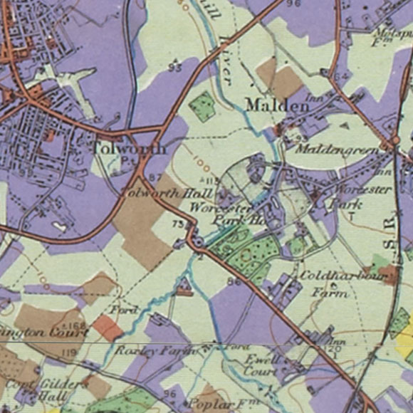
OS c. 1805


LONDON MAP CREDITS: OpenStreetMap image displayed under the terms of their Creative Commons Attribution-ShareAlike 2.0 licence. Land Utilisation Survey and Ordnance Survey First Series map images copyright British Library. Booth London Poverty map courtesy of the London School of Economics.