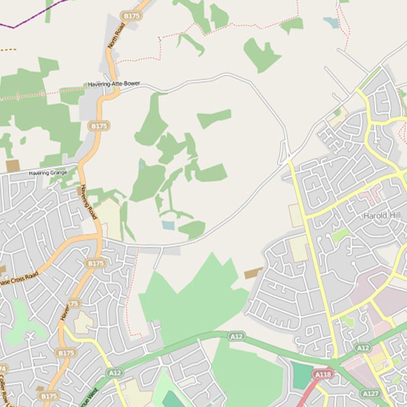
Havering-atte-Bower, Gallows Corner
Layered map for Havering-atte-Bower, Gallows Corner with field recordings and historical maps. Use the navigator map insert below to explore other areas.
OpenStreetMap
Land Use 1936

OS c. 1805


LONDON MAP CREDITS: OpenStreetMap image displayed under the terms of their Creative Commons Attribution-ShareAlike 2.0 licence. Land Utilisation Survey and Ordnance Survey First Series map images copyright British Library. Booth London Poverty map courtesy of the London School of Economics.