SHARE THIS PAGE

Walworth, Brixton, Peckham

Layered map for Walworth, Brixton, Peckham with field recordings and historical maps. Use the navigator map insert below to explore other areas.

OpenStreetMap

London map OpenStreetMap for Walworth, Brixton, Peckham

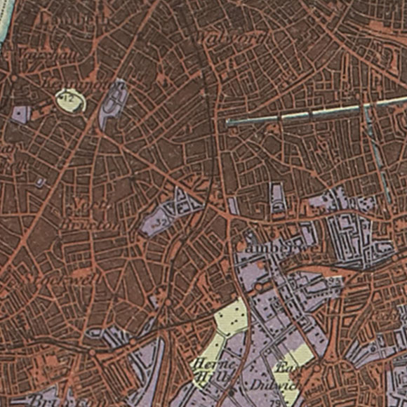
Land Use 1936

London map 1930s Land Utilisation Survey for Walworth, Brixton, Peckham

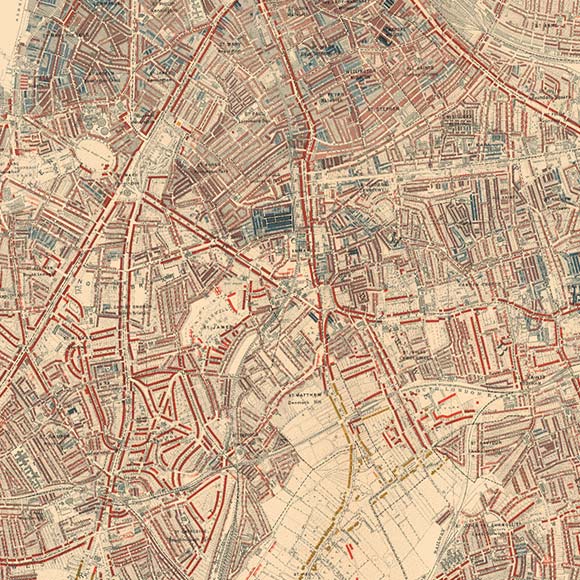
Booth 1898

London map Booth Poverty Map for Walworth, Brixton, Peckham

OS c. 1805

Ordnance Survey First Series map for Walworth, Brixton, Peckham
Nighttime on Atlantic Road Loitering outside Oval tube station late at night Voices and loud cackling laughter inside the Beehive pub Walking along Coldharbour Lane on a Saturday night In the queue for ciagrettes and scratchards at Asda on Old Kent Road Saturday afternoon in Brixton A preacher's voice from a tiny church in the Peckham Rye station arcade Touts and general hubbub in the ticket hall at Brixton station, 1999 Westmoreland Road flea market packs up for the day Grid centre recording for OS reference TQ 3231 7688
LONDON MAP CREDITS: OpenStreetMap image displayed under the terms of their Creative Commons Attribution-ShareAlike 2.0 licence. Land Utilisation Survey and Ordnance Survey First Series map images copyright British Library. Booth London Poverty map courtesy of the London School of Economics.

Sound player

Map keys